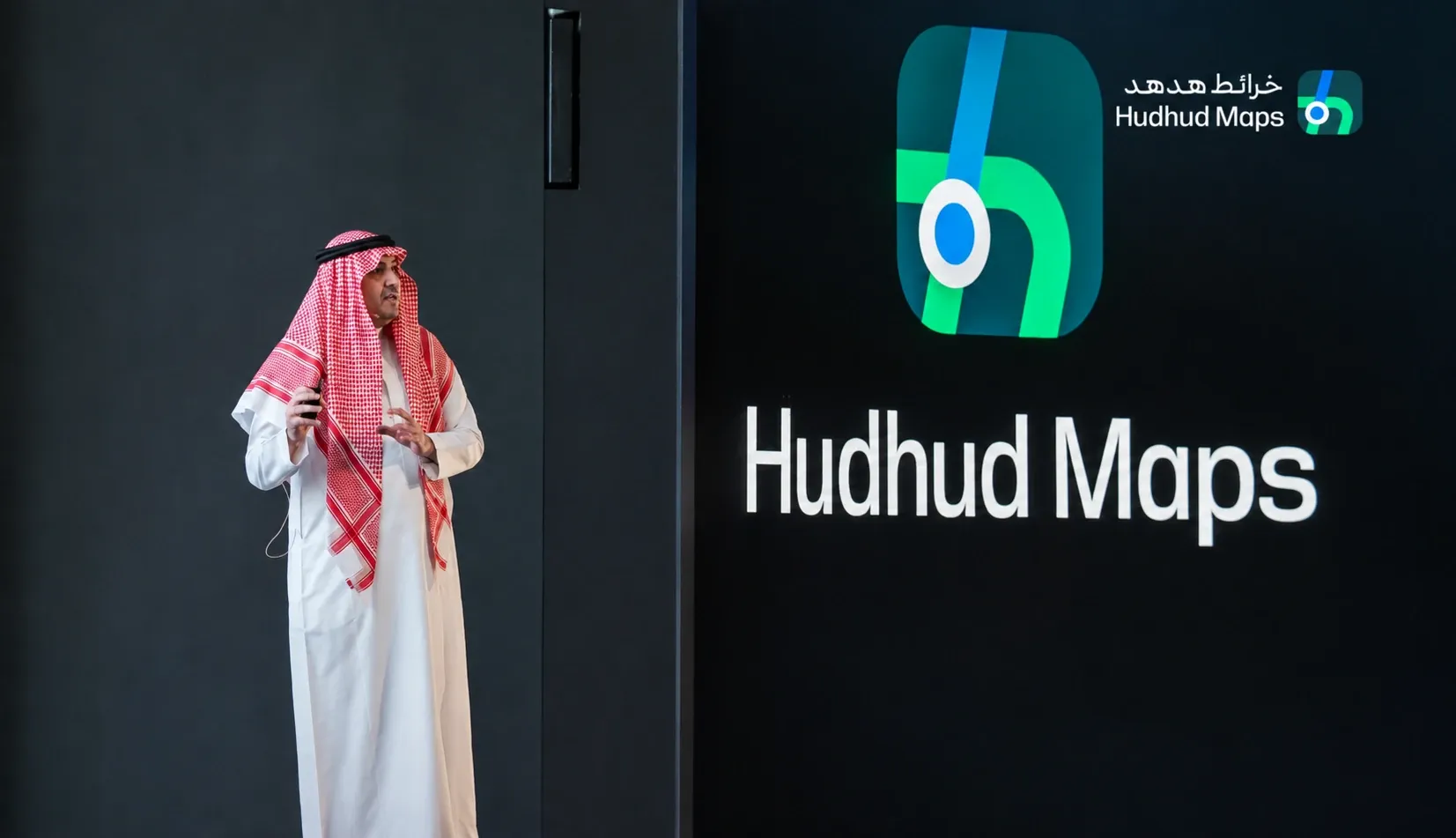
Saudi digital mapping company Hudhud has launched its homegrown navigation platform across Saudi Arabia, introducing a service designed around the Kingdom’s roads, addresses, traffic conditions and local destinations.
Officially branded Hudhud Maps, the platform provides turn-by-turn directions, live traffic information, road alerts, lane guidance and street-level imagery. The service operates across Saudi Arabia and covers thousands of streets throughout the Kingdom.
Developed in Saudi Arabia, the platform is intended to localize mapping services and strengthen domestic capabilities in geospatial technology and location-based data.
Designed Around Saudi Roads
Hudhud Maps is positioned as a locally developed alternative to international mapping platforms, with tools adapted to the way people travel across Saudi cities and highways. The company says its routing system considers real-time traffic conditions, road closures, incidents and previous trips when selecting a route.
Drivers can receive visual instructions showing the appropriate lane, turn or exit as they approach intersections and highway junctions. The application also provides advance warnings for speed cameras, speed bumps, roadworks, traffic congestion and reported accidents.
Community participation forms another part of the platform. Users can report road conditions and submit locations that are missing from the map, allowing the company to update its database with information collected from drivers. Hudhud also supports Apple CarPlay and Android Auto, placing its navigation interface directly on compatible vehicle displays.
Local Mapping with Street-Level Detail
Street-level imagery is one of the application’s main features. Hudhud says users can browse panoramic views of roads and neighborhoods before beginning a journey, helping them identify entrances, intersections and nearby landmarks.
Hudhud Maps’ panoramic imagery covers thousands of streets across Saudi Arabia, while users can search for national addresses, metro lines, businesses, health facilities, restaurants and other destinations within the same interface.
The platform combines satellite navigation, remote-sensing technology, artificial intelligence and locally collected geographic information. These systems are designed to improve route accuracy and help Hudhud Maps respond to changes in roads and urban development.
Public Support Began at LEAP 2024
Hudhud’s commercial rollout follows a cooperation agreement announced during the LEAP technology conference in 2024. The agreement involved Hudhud Digital Maps, the General Authority for Survey and Geospatial Information and the National Technology Development Program.
The Saudi Press Agency reported at the time that the parties would support the development and launch of the Hudhud digital mapping application in the Kingdom. The cooperation was presented as part of efforts to strengthen Saudi geospatial capabilities and encourage the growth of local technology companies.
Public-sector backing placed the project within Saudi Arabia’s broader effort to develop domestic digital infrastructure and expand local participation in technology sectors traditionally dominated by global companies.
Navigation Data Carries Wider Uses
Digital maps are used for more than helping individual drivers reach a destination. Accurate location data can also support logistics companies, delivery services, transportation networks, urban planners and emergency-response operations.
Hudhud’s mapping infrastructure could support industries including transportation, logistics, surveying, smart systems and data analytics. Locally managed geographic information may also help Saudi businesses develop services that rely on addresses, routes, travel times and location-based searches.
The platform’s economic potential is supported by its ability to keep pace with Saudi Arabia’s rapidly changing road network. Regular map updates, continuous data collection and timely information on new roads, construction projects, speed limits and expanding neighborhoods can strengthen route accuracy and broaden its value across transportation, logistics and location-based services.
Local Data Governance Supports the Platform
Hudhud Maps operates within Saudi Arabia’s data-protection framework, with its privacy policy outlining how information linked to location features, personalization and interactive services may be handled.
The platform is operated by HudHud Digital Technology Company, a Saudi limited liability company registered under Commercial Registration No. 1010916357. The policy states that personal information is processed in accordance with the Kingdom’s Personal Data Protection Law and its executive regulations.
The platform’s databases and servers are hosted inside Saudi Arabia, reinforcing a locally managed approach to geospatial data. Hudhud’s privacy policy also confirms that the operator is Saudi-registered and subject to the Kingdom’s data-protection requirements.
A New Entrant in a Competitive Market
Hudhud enters a navigation market where users already have access to established global mapping applications. Competing with those services will require more than local branding, particularly because drivers tend to choose navigation platforms based on route accuracy, traffic reliability and the completeness of their location databases.
Its potential advantage lies in the depth of its Saudi-specific information. National addresses, road entrances, local speed alerts, Arabic-language navigation and detailed knowledge of changing urban areas could make the service useful where broader global databases lack local detail.
The launch adds a Saudi-operated platform to an increasingly important layer of digital infrastructure.